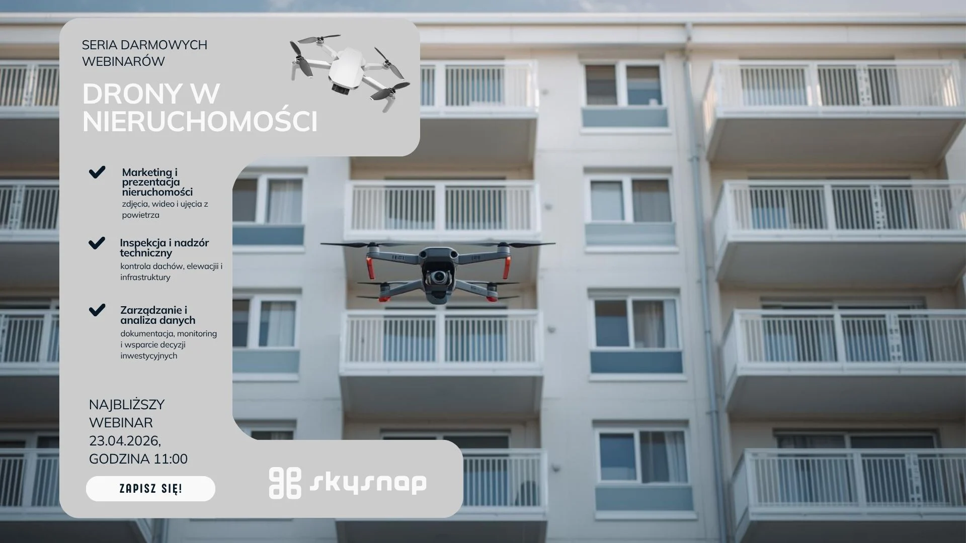
Introduction to drones in construction
Drones, or unmanned aerial vehicles, are increasingly used in the construction industry. Their use allows precise mapping of terrain, inspection of power lines, and completion of projects in less time. Drones are becoming an indispensable tool in the construction industry, allowing access to hard-to-reach places and collecting data in real time. They make it possible to monitor the progress of work with a high degree of accuracy, resulting in better project management and minimizing the risk of errors.
The future of linear construction: How drones are changing the industry
Line construction, which includes roads, bridges and railroads, is undergoing a revolution thanks to modern technology. At the center of this transformation are drones, which are increasingly being used to plan, supervise and monitor construction projects. Construction companies can use drones for infrastructure diagnostics and efficiency in their Scan to BIM process. These small but advanced devices offer new opportunities that seemed out of reach just a few years ago. With drones, it is possible to map the site more precisely and control the progress of the work more effectively, leading to time and cost savings. Let’s take a look at how drones are changing the face of linear construction and the benefits they bring to the industry as a whole.
Technological revolution in construction
Modern technologies are entering the construction sector, influencing its development and the way projects are carried out. Drones are becoming an indispensable part of this revolution, providing new tools and work methods that are changing the traditional approach to linear construction. Drone technology is being used for photo documentation, 3D modeling and infrastructure condition inventory, contributing to the efficiency of construction processes and improving safety on construction sites.
New drone capabilities
Drones offer innovative solutions that were unattainable until recently. With advanced sensors and cameras, drones can collect data from hard-to-reach places. This makes it possible to create detailed terrain maps and 3D models.
Drones are also used for quality control, which is crucial in construction. Detecting damage and anomalies at an early stage allows for a quick response. An example is bridge inspections, where drones are much more effective and safe than traditional methods.
It is worth noting that drones can be remotely controlled, which allows them to be used in dangerous conditions. This is especially important for facilities located at high altitudes or in hard-to-reach areas. The use of drones contributes to the safety of workers.
How drones increase efficiency
Drones are significantly speeding up construction processes. Thanks to the ability to collect data quickly, the time needed to prepare projects is significantly reduced. As a result, investments can be completed faster and more efficiently.
- Data collection: Drones can conduct inspections and collect data in a matter of hours, which would take days without their help.
- Data analysis: Data collected by drones can be quickly analyzed using advanced software.
- Planning Hand: With accurate data, designers can create more precise plans and models.
Advanced data analysis makes it possible to predict future problems and solve them quickly. Drones help minimize costs associated with errors and corrections.
Drone applications in linear projects
Drones are used in linear projects such as road and bridge construction. Their use in these areas brings many benefits, from more efficient planning to better monitoring of work progress.
Monitoring the progress of the work
Drones allow construction projects to be continuously monitored on site, allowing for faster detection of delays and problems. Regular aerial inspections provide up-to-date information on the status of work.
With drones, photographic and video documentation can be created, which is useful for analyzing the progress and quality of work done. This allows you to quickly identify problems and solve them before they affect the project schedule.
Today’s drones are equipped with technology to accurately track task deadlines, which is invaluable in large construction projects. This ensures that all activities are on schedule.
Precise terrain mapping
Site mapping with drones has become one of the key elements in planning linear projects. With remote aerial surveillance, it is possible to detect hazards that remain invisible from ground level, highlighting the innovation and effectiveness of this surveillance method. Drones can create detailed terrain maps that are indispensable for designing new routes.
Drones equipped with LIDAR technology can accurately measure distances and elevations of terrain. This allows for the creation of accurate topographic models, which are invaluable during construction planning.
Maps created with drones are not only more accurate, but also provide information in less time. This allows construction to begin sooner and minimizes risks associated with unforeseen terrain problems.
Comparison with traditional methods
Compared to traditional methods, drones offer greater accuracy and speed. They allow precise data to be obtained in less time, resulting in time and cost savings. Drones equipped with high-resolution cameras provide information about the construction site, enabling effective project management. Traditional methods often require more time and resources, while drones can quickly and accurately perform inspections and measurements, even in hard-to-reach areas.
Challenges and future of drones in the construction industry
Despite its many advantages, the use of drones in the construction industry faces some challenges, especially in terms of regulation and safety. The future of drone technology in the construction industry depends on its further development and adaptation to the changing needs of the industry.
Regulations and security
Regulating the use of drones is key to ensuring the safety of their operations. Operators must comply with airspace flight regulations and privacy rules.
Safety is a priority, so strict procedures must be followed. Drones must be equipped with collision avoidance systems and emergency landing functions.
In Poland, as in other countries, the law imposes obligations for drones to be registered and for operators to be properly licensed. This ensures that drones are used legally and safely.
Statistics and trends
According to statistics, the use of drones in the construction industry has increased by 20% over the past two years. This trend is due to the growing demand for precise and fast data collection methods. Drones are used in linear construction such as road, bridge and power line construction. Their ability to map large areas quickly and accurately makes them increasingly popular among construction companies seeking to increase efficiency and reduce operating costs.
Supporting drone use
In order to support the use of drones in the construction industry, it is necessary to ensure proper regulation of their use. Drone operators should have the proper training and experience to use these devices safely and effectively. Drones can be used in various areas of construction, from urban planning to site monitoring. Their use provides valuable information that can be used to improve workplace safety and reduce operational costs. Proper regulation and training ensure that drones are used in accordance with regulations, making their use safer and more efficient.
Development potential of drone technology
The future of drones in construction seems promising. The technology is constantly evolving, offering more and more advanced capabilities. Greater autonomy and artificial intelligence are just some of the directions in which innovation is heading.
Drones can become an integral part of automated construction processes. The ability to integrate them with other technological systems, such as BIM, greatly increases their utility.
As drone technology continues to evolve, we can expect to see further innovations that will revolutionize the construction industry, making it more efficient and safer.

Darmowy E-book
Dowiedz się, jak krok po kroku przygotować misję, uniknąć błędów przy nalotach i tworzyć dokładne ortofotomapy oraz modele 3D. Idealny przewodnik przed pierwszymi zleceniami komercyjnymi.
Table of Contents:
Podoba Ci się artykuł? Podziel się nim z innymi!
Podoba Ci się artykuł? Podziel się nim z innymi!
Informacje o autorze
Intern Operations
Porady, wiadomości, spostrzeżenia
Powiązane artykuły
Sprawdź nasze artykuły i poznaj najnowsze informacje z branży.